18 mi ::
345 mi ::
Sunny, warm, windy
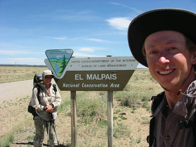
We’re back on the road early. We have one turn to make. The roads don’t seem to match the map exactly, so when we come to an intersection we’re not sure if it’s our turn. The GPS places us off the road entirely, and not at an intersection. There used to be a sign here, but it’s been torn down. We decide it’s not worth the potential trouble and continue. Later we figure out that it was our turn, but we can go around a slighly shorter way with more miles on highway 117.
We end up walking 10 miles on 117. The only water is at the 6th mile, at a windmill. The wind is strong, and the tanks are overflowing with good clear water. We drink all we can and take away 7 liters. We eat dinner there by the road to keep the weight we have to carry away down.
While we’re eating a rental car pulls up and a man with a camera gets out to photograph the windmill. “Still a long ways to Canada!” he says to us, unprovoked. He turns out to be Greg Warren, ‘Regional Trails and CDNST Program Specialist’ for the Forest Service. He tells us he’s looking for ways to get the trail off of roads, and improve situations like this one where we had to squeeze through a barbed wire fence to get water. We make a few complaints to him before he gets away. After he leaves, we wonder just how much funding there is for the trail. Are there other positions like his? Will the morass of private land, vast waterless ridges, and simple absence of trail ever be worked into an actual walkable route? We think about it as we lug our water 4 more miles to a picnic area that doesn’t prohibit camping. We sleep below the first rise of sandstone cliffs called The Narrows. We don’t know what’s narrow about them, but they’re pretty in the light of the setting sun.